I don’t think this technically counts as a viewing, but it’s the closest I’ve come.
Solar activity was strong, with the potential to see it here in southwest Ohio! I went outside at the prescribed time, and no – it wasn’t visible. But supposedly an extended exposure photo will reveal the hidden radiation. So I gave it a go.
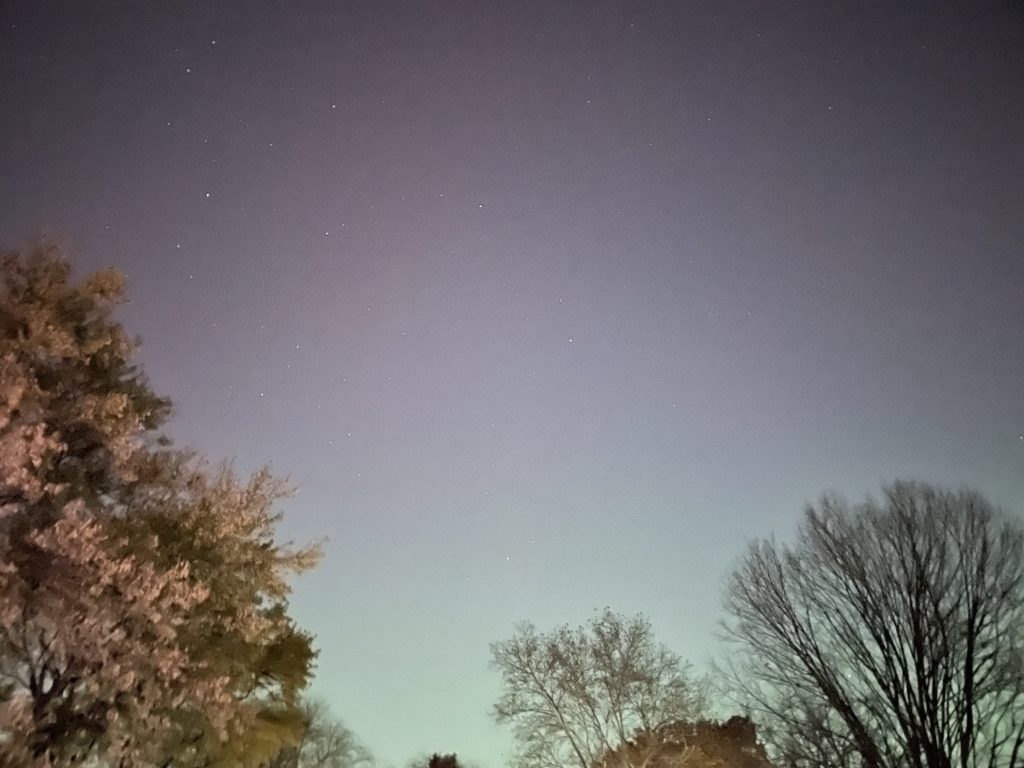
Kinda maybe? I mean, it’s red. That’s not city lighting glare, right?
I’ll take it.
–Simon